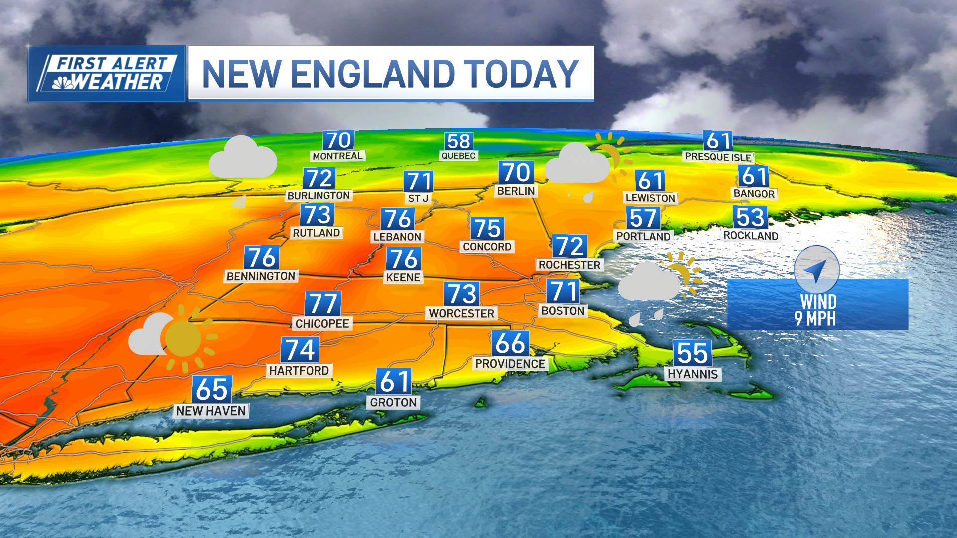
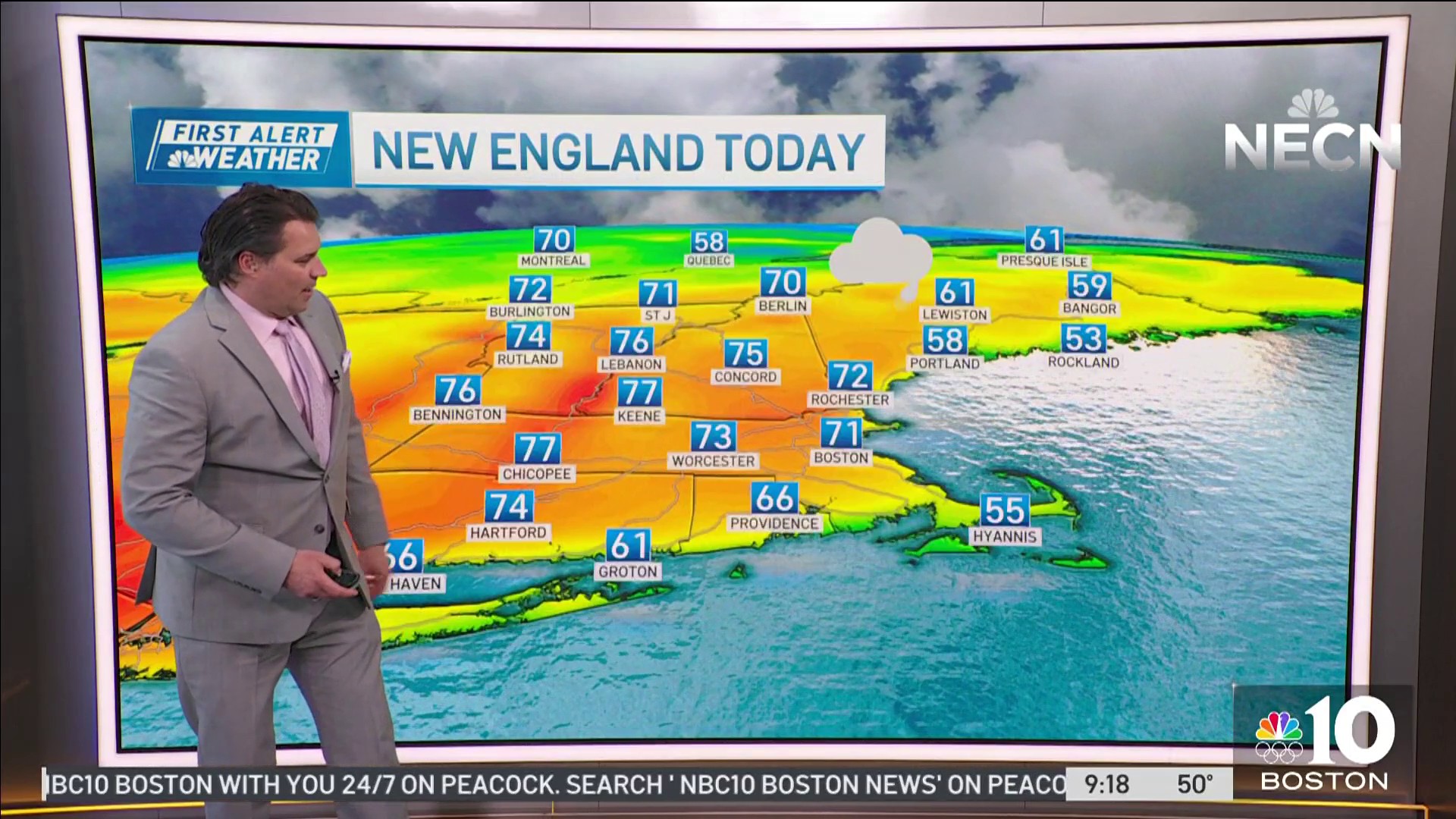
Another foggy start, so take it slow and easy on the roads Wednesday morning. In many respects, this kind of travel is more treacherous than snow. Visibility in some spots is merely a few hundred feet in this thick soup.
Even better, if you can delay travel, it would be even better. Sky conditions will improve late Wednesday morning and early afternoon.
Some spots won't break the fog entirely, however. Thicker clouds are moving in above the fog bank, and showers aren't far behind. We should see these spread over the entire area through the evening.
Get Boston local news, weather forecasts, lifestyle and entertainment stories to your inbox. Sign up for NBC Boston’s newsletters.
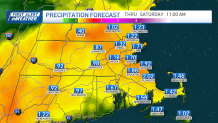
This storm system is expected to deliver another inch to inch and a half of rain through Thursday.
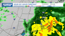
Guidance shows the heaviest and steadiest rain will fall Wednesday night and early Thursday, with leftover showers, mist and drizzle for the remainder of the day.
There's not much cold across New England, so even as the storm moves away on Friday and early Saturday, we won't see a change to snow on the back end. There's a chance of it in northern New England, but just as the cold arrives, the storm will be exiting.
This bodes well for plans this weekend, as Saturday afternoon dries out and Sunday features plenty of sun.
It's looking like a chilly (but not bitter) New Year’s Eve/Day. We'll stay dry into the first days of 2024 as well.
Enjoy the rest of the week!

