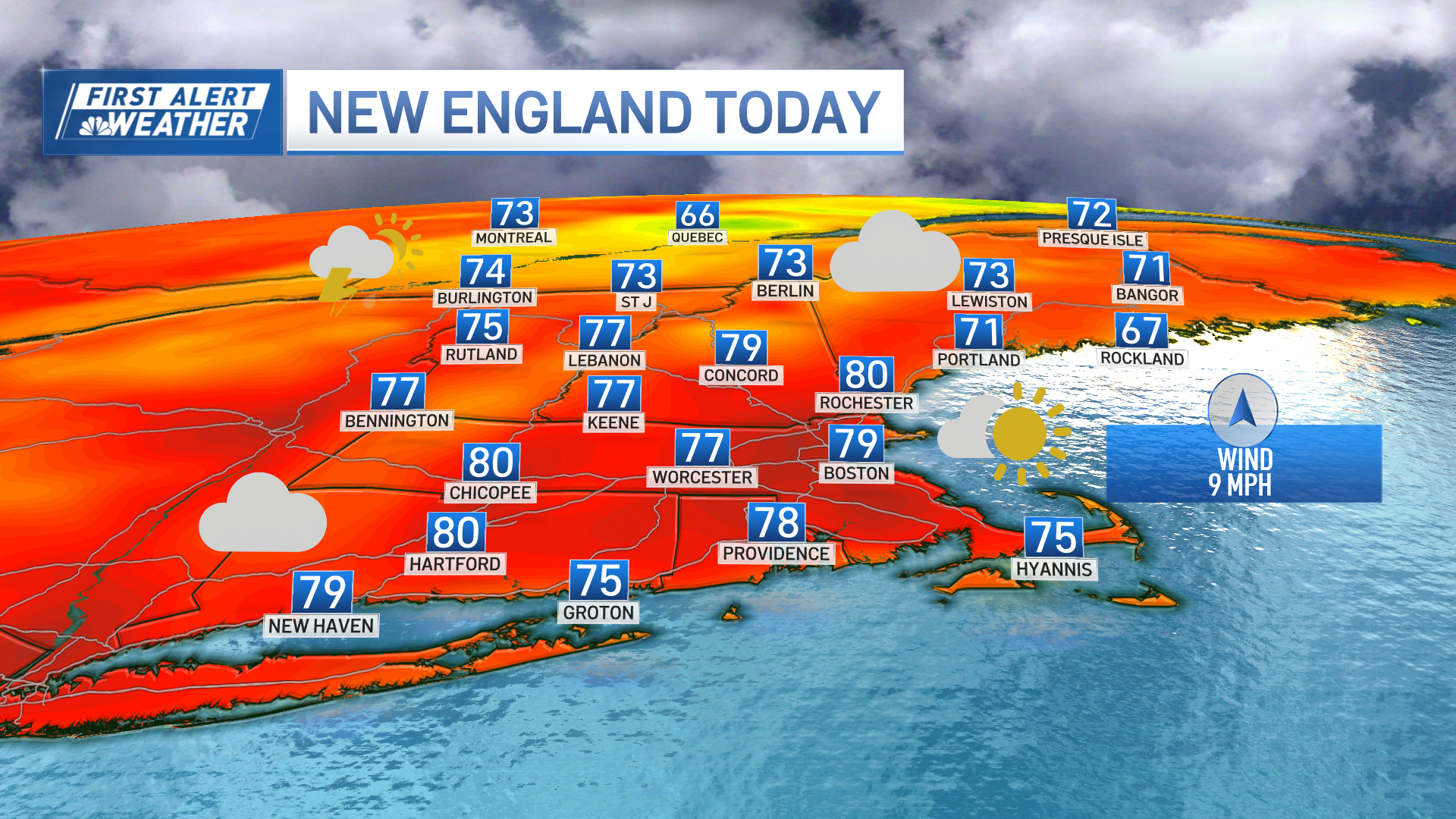
New England is set up for a stretch of cool days that start Saturday and extend not just through Mother’s Day weekend, but through the first half of next week.
The culprit will be a stalling, large and strong storm moving from the Ohio Valley to a position just off the Mid-Atlantic coast before stopping its forward progress and then actually backing westward toward the coast again. The huge, counter-clockwise swirl of wind around the storm center will mean a persistent northeast wind into New England that actually starts Friday night and likely lasts through the early part of next week.
STAY IN THE KNOW
Watch NBC10 Boston news for free, 24/7, wherever you are. |
|
Get Boston local news, weather forecasts, lifestyle and entertainment stories to your inbox. Sign up for NBC Boston’s newsletters. |
In time, this will mean not only cool air, variable clouds and the chance for sprinkles or showers at times, but also gradually building seas for mariners for days on end. In the short term, Friday’s clouds are the first signs of moisture streaming ahead of the storm to our south, but a light and variable wind will allow the existing mild air to deliver afternoon highs in the 60s, though the coast will see a sea breeze kicking up with coastal temperatures falling back into the 50s Friday afternoon.
As clouds thicken Friday evening, showers will arrive to Connecticut and Rhode Island, with a few sprinkles possible in the rest of southern New England. Then showers will creep northward slowly during Friday overnight, stopping just south of the Mass. Pike.
Get top local stories in Boston delivered to you every morning. Sign up for NBC Boston's News Headlines newsletter.
Saturday morning and midday won’t bring much change – showers fall south of the Pike while areas farther north stay dry and cool as a northeast wind increases for all – but by Saturday afternoon the northeast wind actually carries enough dry air into New England for showers to start breaking up from north to south during the afternoon, ending last along the South Coast by late day and evening.
It’s not often that a northeast wind delivers drying, but in this case the huge area of fair weather – high pressure – building toward the Canadian Maritimes from eastern Canada is chock full of dry and cool air, which will help to squash showers almost entirely south of New England on Mother’s Day, save perhaps for a few near the South Coast.
The first half of next week, the weather pattern really doesn’t change much – the stalled storm near the Mid-Atlantic continues a northeast wind into New England and whether or not we see showers on any given day hinges on how much moisture and energy pivots north of the storm center, though right now the only day that stands out as an elevated chance for showers is Wednesday. In fact, it’s after Wednesday when the storm breaks down and the chance for changing the wind direction increases, and with lots of warm air waiting just to our southwest, a change in wind to blow from the south would assuredly bring warming.
Weather Stories
While it’s early to know exactly when that wind shifts or how much warmth it brings, we continue to predict temperatures into the 70s by the end of the week into next weekend in our exclusive First Alert 10-day forecast.


